Includes:
- Frame for inserting automated symbol and line notes. (Note: The frame already contains explanations for building classifications and open/closed balcony and roof that must appear in a frame.)
SDBOX Design Software - Complete guide for declarations, notes and annotations when drafting topographic drawings

This page describes the declaration and note sections included in the ZTITLOI command for drafting topographic drawings. It includes all necessary elements for titles, notes, building regulations and annotations.
The ZTITLOI command (for inserting Title-Blocks) also contains 8 sections related to drafting Topographic drawings. You can add any additional elements you want to these sections.
Note: See the board creation procedure here.
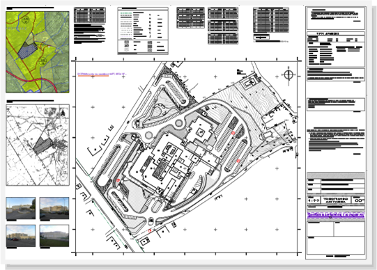
The 8 sections for drafting topographic drawings
^ Top of PageIncludes overall Title-blocks with note frames, building regulation frames, area calculation formulas, declarations and notes for common Topographic drawings inside and outside the Plan.
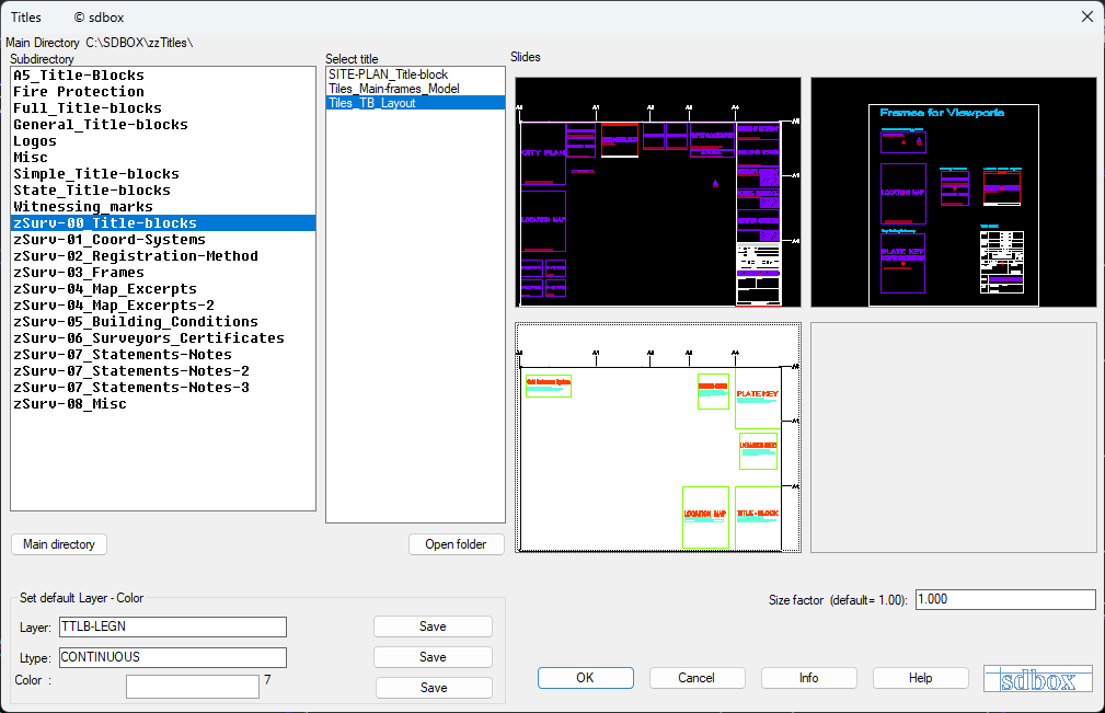
Topographic titles and notes
^ Top of PageCoordinate System Reference notes placed in the top left corner of the Canvas (Local System, HATT, EGSA '87, UTM).
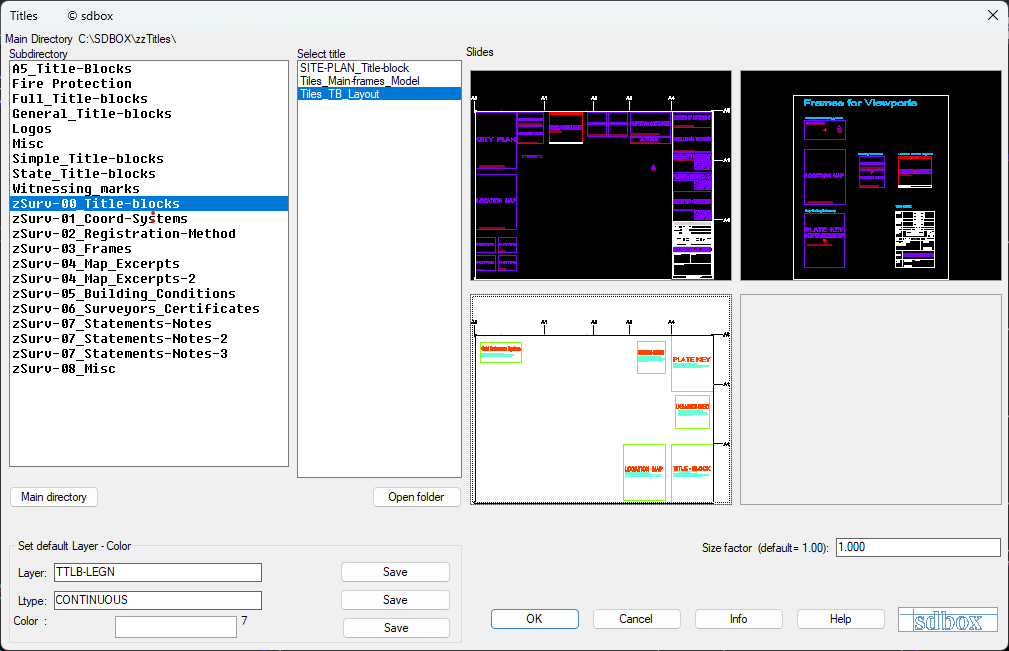
Coordinate and reference systems
^ Top of PageRegistration details that must be included in the Notes if the Drawing is referenced (GPS, Traverse, Leveling...).
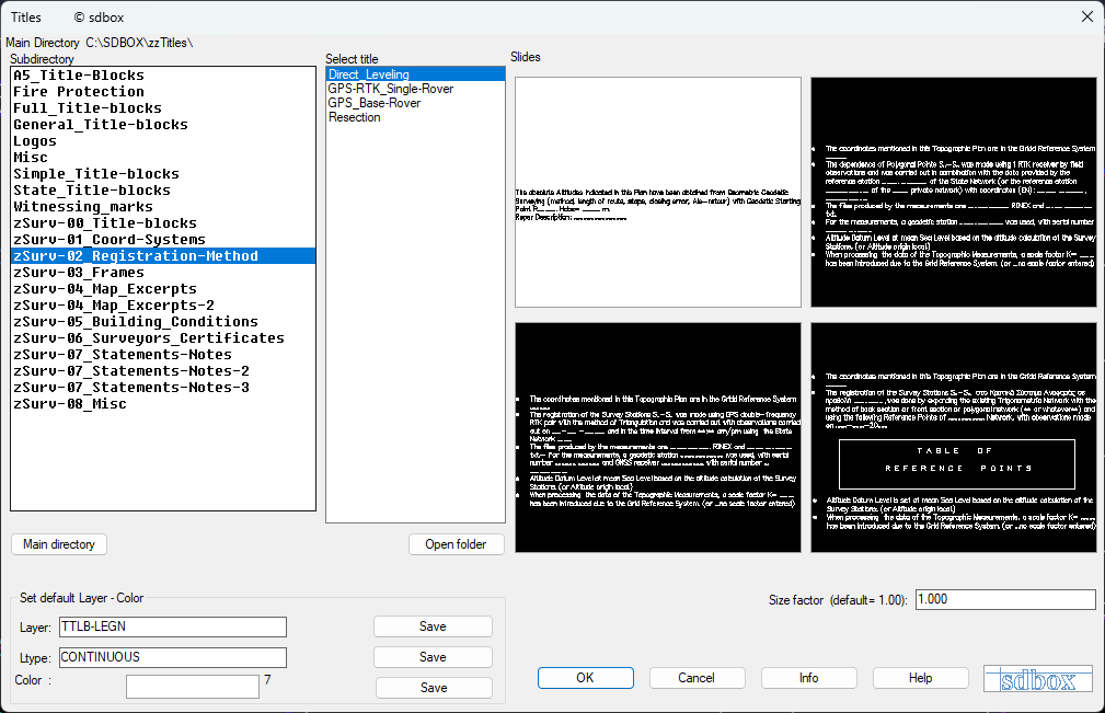
Topographic survey dependency elements
^ Top of PageIncludes:
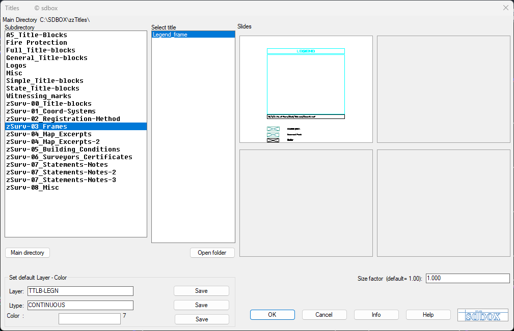
Topographic frames and tables
^ Top of PageIncludes the titles of common extracts that accompany Topographic drawings:
Note: These titles are placed above the image of the extract.
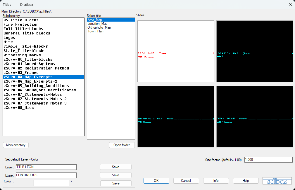
Topographic extract titles
^ Top of PageIncludes a frame for completing Building Regulations.
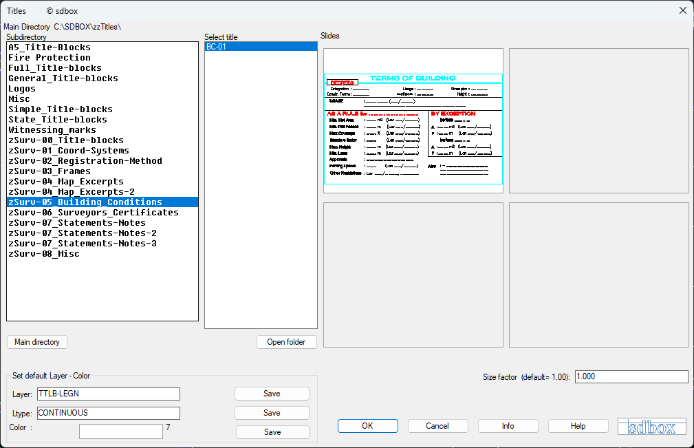
Building regulations frame
^ Top of PageDefault certificate.
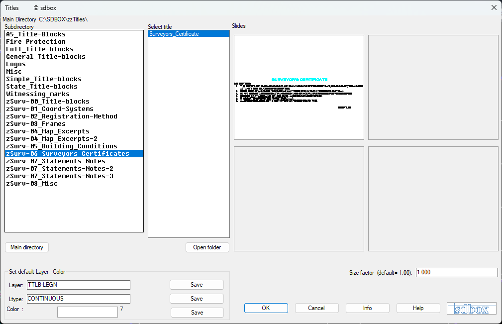
Declarations for topographic drawings outside plan
^ Top of PageDefault statements and notes:
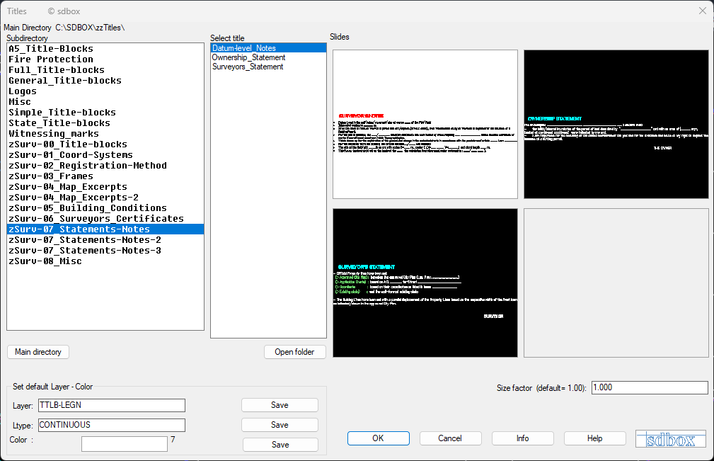
Declarations for topographic drawings inside plan
^ Top of Page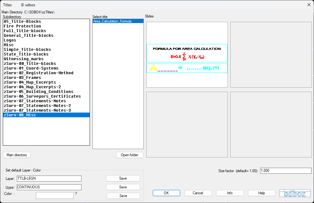
Various additional elements
^ Top of PageThe ZTITLOI command contains 8 complete sections for drafting topographic drawings. You can customize and extend these sections according to your needs.
Use the PDF guide for detailed step-by-step instructions on drafting topographic drawings.
Watch the available videos for visualization of the process.
Adjust frames and declarations according to the specific requirements of each project.