Maps in SDBOX
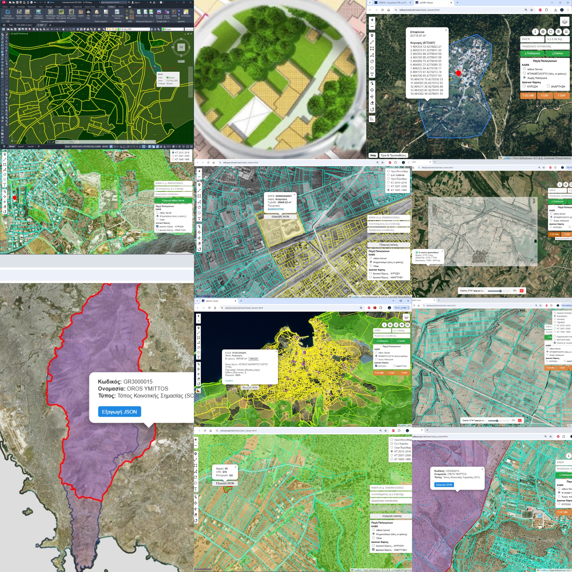
The Maps section of SDBOX gathers tools for importing, managing and using cartographic and geospatial data directly within CAD.
The goal is not just displaying maps, but integrating them into the drawing with georeferencing, layer organization and the ability to continue working with the data directly in CAD.
The goal is not just displaying maps, but integrating them into the drawing with georeferencing, layer organization and the ability to continue working with the data directly in CAD.
What's Included in Maps
The Maps functions cover a wide range of needs and are organized into subcategories:
🗺️ Backgrounds & Maps
International map backgrounds, online map sources and cartographic data
International map backgrounds, online map sources and cartographic data
📍 Georeferenced Images
World files, GeoTIFF, urban planning diagrams
World files, GeoTIFF, urban planning diagrams
↔️ Import/Export
KML, KMZ, JSON/GeoJSON, SHP and geospatial exchange
KML, KMZ, JSON/GeoJSON, SHP and geospatial exchange
🌍 External Maps
Google Earth, Street View, Maps, Bing
Google Earth, Street View, Maps, Bing
🔗 zzLinks & Sources
Direct access, official data, useful websites
Direct access, official data, useful websites
Backgrounds and Maps
With SDBOX you can work with:
- International and general cartographic backgrounds
- Online map sources and geospatial reference data
✅ Georeferencing: The excerpts are imported georeferenced, in correct position and scale, ready for use in the drawing.
Importing Georeferenced Images
Supported:
- Importing images with world file
- Importing GeoTIFF, such as georeferenced urban planning diagrams
- Automatic placement in correct position and organization in relevant layers
🗂️ Automation: Images are automatically placed in the correct position and organized into relevant layers, so they can be managed together with other cartographic data.
Importing and Exporting Files
Import of the following is supported:
🗺️ KML / KMZ
Google Earth and geospatial data exchange
Google Earth and geospatial data exchange
📊 JSON / GeoJSON
Structured geospatial data
Structured geospatial data
🔷 SHP
Shapefiles, ESRI format
Shapefiles, ESRI format
↔️ Interoperability: Data export is also supported, so the drawing can be used in other environments as well.
Export and Location in External Maps
With SDBOX you can:
- Export the drawing or selected objects to Google Earth
- Automatically locate in Google Street View
- Open the location in maps such as Google Maps, Bing Maps, Mapillary, etc.
🎯 Benefits: These functions facilitate verification, on-site confirmation, and project presentation.
zzLinks and Useful Online Sources
The zzLinks tool provides:
- Direct access to useful websites
- Access to official institutional data
- Quick navigation to relevant online resources
⚡ Efficiency: All functions are performed without requiring manual search outside CAD.
How to Continue
The Maps section is accompanied exclusively by videos which present:
🎬 Complete Processes
From start to finish
From start to finish
🔧 Individual Tools
Details for each function
Details for each function
💼 Use Cases
Practical examples from real projects
Practical examples from real projects
Final Note
This page has a clear role:
- To show the scope and logic of Maps in SDBOX
- And to guide you to the right videos and examples for in-depth learning
For detailed operation of each Maps tool, use the linked videos and workflow examples.