What is SDBOX?
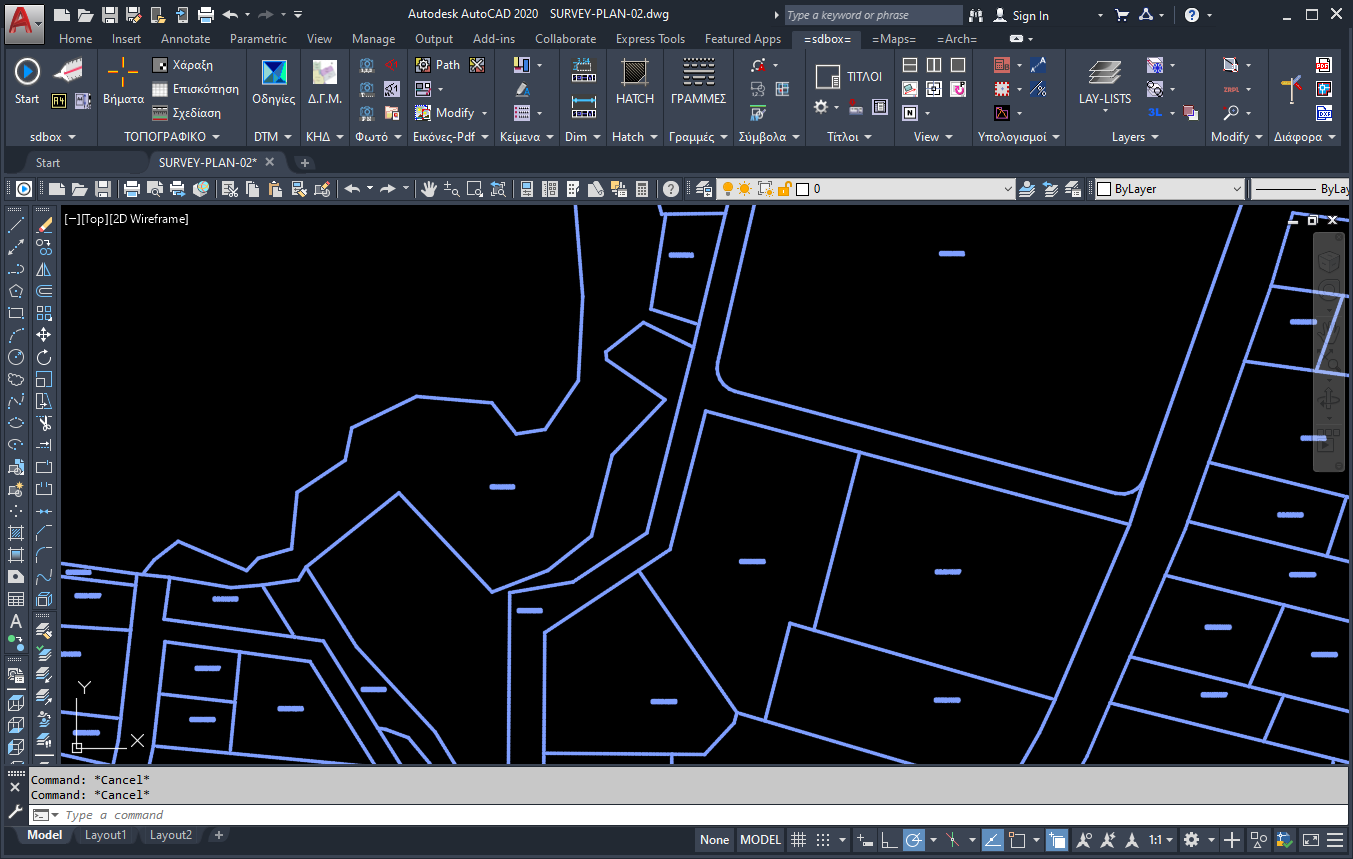
SDBOX is a professional CAD add-on for complete surveying and engineering drawing production, with a strong focus on topographic survey workflows from survey point import to the final print-ready PDF.
It works inside AutoCAD, BricsCAD, progeCAD, GstarCAD and ZWCAD, extending the CAD environment with organized tools for drafting, mapping, geospatial workflows, terrain modeling, annotation, tables, legends, title blocks and final output.
It works inside AutoCAD, BricsCAD, progeCAD, GstarCAD and ZWCAD, extending the CAD environment with organized tools for drafting, mapping, geospatial workflows, terrain modeling, annotation, tables, legends, title blocks and final output.
Why SDBOX?
In everyday survey and engineering work, the information needed to produce a drawing is often scattered across point files, CAD drawings, map services, geospatial files, terrain calculations, standards, tables and plotting settings.
SDBOX brings these steps together inside the CAD environment and provides practical tools that:
SDBOX brings these steps together inside the CAD environment and provides practical tools that:
- Organize the complete drawing workflow from source data to final deliverable
- Reduce repetitive drafting, checking and plotting tasks
- Improve consistency in layers, symbols, texts, tables, legends and title blocks
- Use map backgrounds, georeferenced images and geospatial data directly inside CAD
- Keep the final result as a standard editable CAD drawing
The goal is simple: faster, more accurate and more consistent production, without forcing users to abandon their normal CAD workflow.
What It Includes (Overview)
SDBOX is not a single command collection. It is organized around real production workflows, including:
- Survey Plan Drafting — points, existing site conditions, boundaries, areas, coordinate tables, statements, legends and title blocks
- Maps & Geospatial Workflows — map backgrounds, Google Earth, georeferenced images, KML/KMZ, SHP, JSON/GeoJSON, GeoTIFF and world files
- Digital Terrain Modeling — triangulation, contours, cross sections, longitudinal profiles and cut & fill volumes
- Set-out Preparation — coordinates, axes, geometry and field-ready drawing information
- Building Surveys — floor plans, sections and elevations for as-built documentation
- CAD Productivity — scale-aware texts, symbols, blocks, dimensions, hatches, layers, images, cleanup tools and PDF output
Each section is designed to support engineering drawing production, not just generic CAD editing.
Target Audience
SDBOX is built for professionals who need practical tools for fast, accurate and consistent drawing production inside CAD.
Land Surveyors
Civil Engineers
CAD Technicians
Architects
Technical Offices
How It Is Used
- SDBOX is installed once and becomes available through dedicated CAD menus, ribbon tabs and command tools.
- It does not replace the CAD environment; it extends it with production tools for surveying, terrain modeling, mapping, geospatial workflows and drawing automation.
- Users can start with the workflows they need most and gradually expand to additional tools over time.
- The final result remains a standard CAD drawing that can be edited, checked, plotted and exchanged normally.